Services
Aerial coverage, end to end.
Pick a single service or bundle them. Every listing gets the same fast turnaround and color treatment.
Aerial Photography
A polished set of high-resolution aerial stills that put your acreage in context — perfect for MLS, brochures, and social.
- 12–20 edited high-res photos
- Multiple altitudes and angles
- Color graded for MLS
- Online delivery within 48 hours
Cinematic Listing Video
A 60–90 second cinematic reel that walks buyers through the property from above. Cut for vertical and horizontal.
- 4K source footage
- Music licensed for resale use
- Vertical + horizontal exports
- Optional voiceover or text overlays
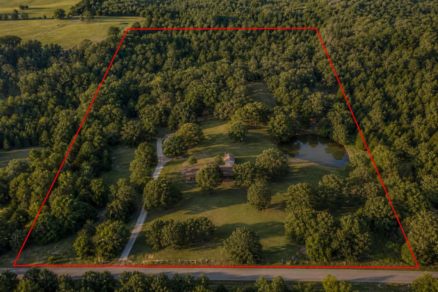
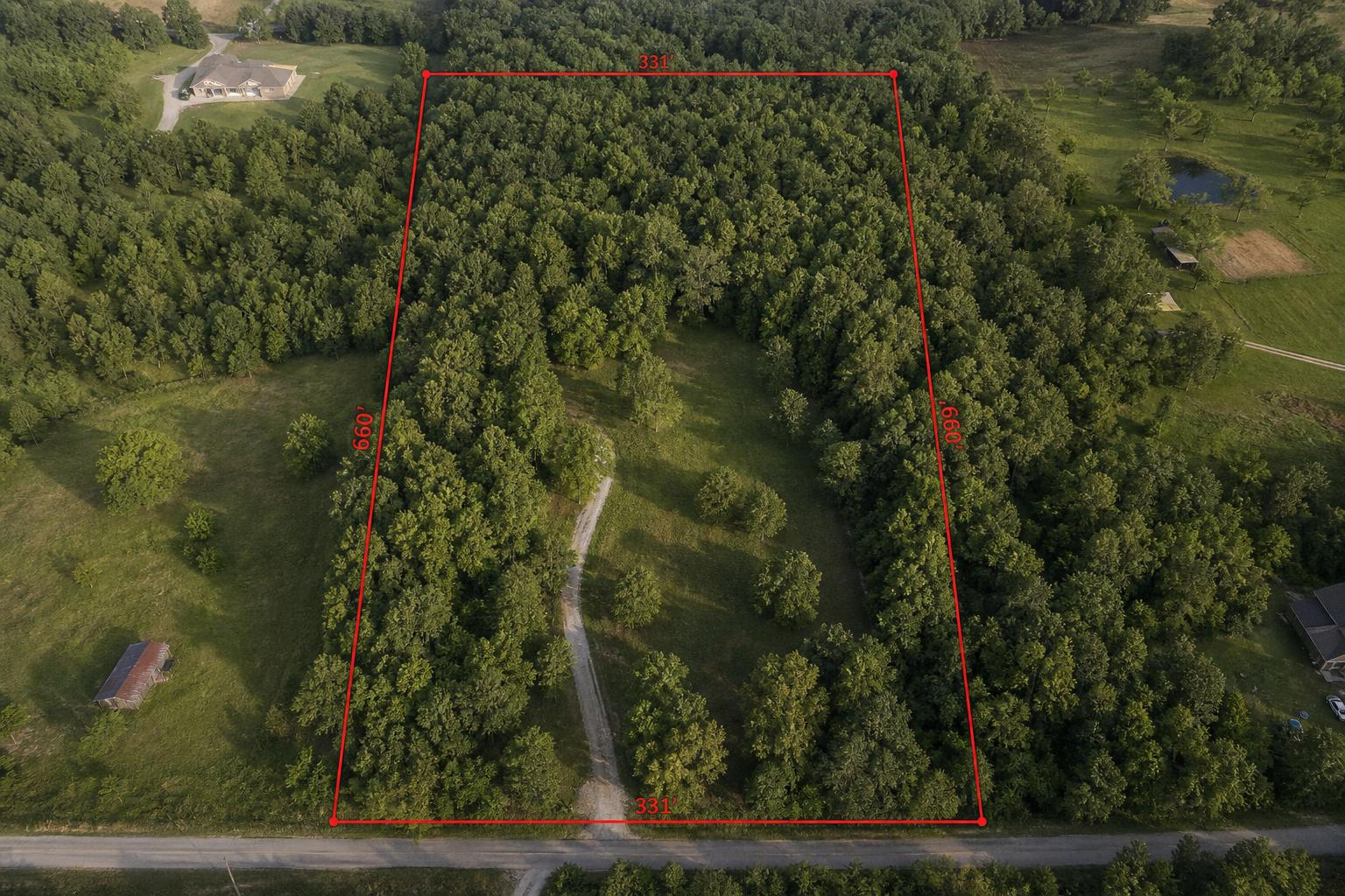
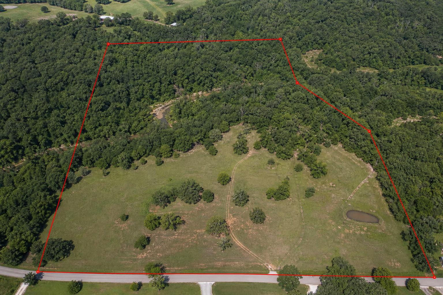
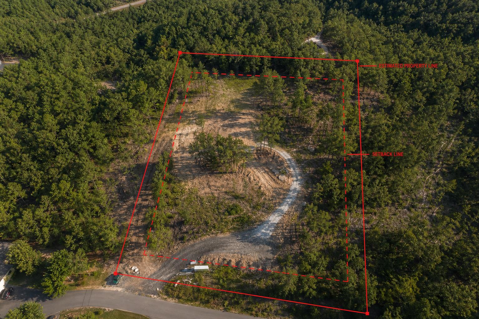
Parcel Boundary Overlays
Aerial photos with property lines, easements, and key features drawn in. Buyers see exactly what's included.
- Parcel lines from county GIS records
- Easements & access roads marked
- Acreage & dimensions labeled
- Print-ready resolution
Golden Hour Aerials
Warm sunrise and sunset aerials that make a listing stop the scroll. Great for premium homes on land.
- Golden hour sunrise or sunset light
- Multiple compositions
- Warm, listing-ready color grade
Construction Progression Monitoring
Regular aerial documentation of your build site from groundbreaking to final walkthrough. Photos are GPS-located and captured from the same coordinates so every update lines up perfectly for progress tracking and stakeholder updates.
- Weekly or monthly scheduled flights
- Same GPS location every time for accurate comparison
- Progress reports with annotated imagery
- Time-lapse video compilation on request
Company Marketing Aerials
Striking aerial content that elevates your brand — from corporate campuses and facilities to team events and product launches. Perfect for websites, social campaigns, and investor decks.
- Corporate campus and facility overviews
- Event coverage from above
- Branded content for web and social
- High-resolution stills and 4K video
Aerial Inspections
Safe, detailed drone assessments of hard-to-reach areas. Get high-resolution imagery and video for roofs, building exteriors, telecom towers, and infrastructure without ladders or lifts.
- Roof condition and damage documentation
- Exterior structure and facade assessments
- Telecom and tower visual inspections
- Detailed imagery delivered within 48 hours
Example
Boundary overlay sample
A representative example of how we annotate a parcel — estimated lot lines drawn in red over an aerial photo so buyers can see exactly what's included.