
Northwest Arkansas · FAA Part 107
See the land from above.
Aerial photo and video that helps real estate agents sell land listings faster. Built for acreage, ranches, and homesites across NWA.
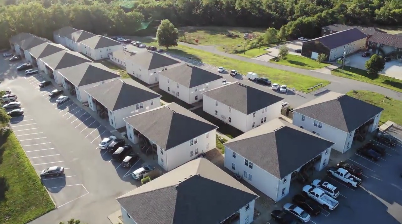
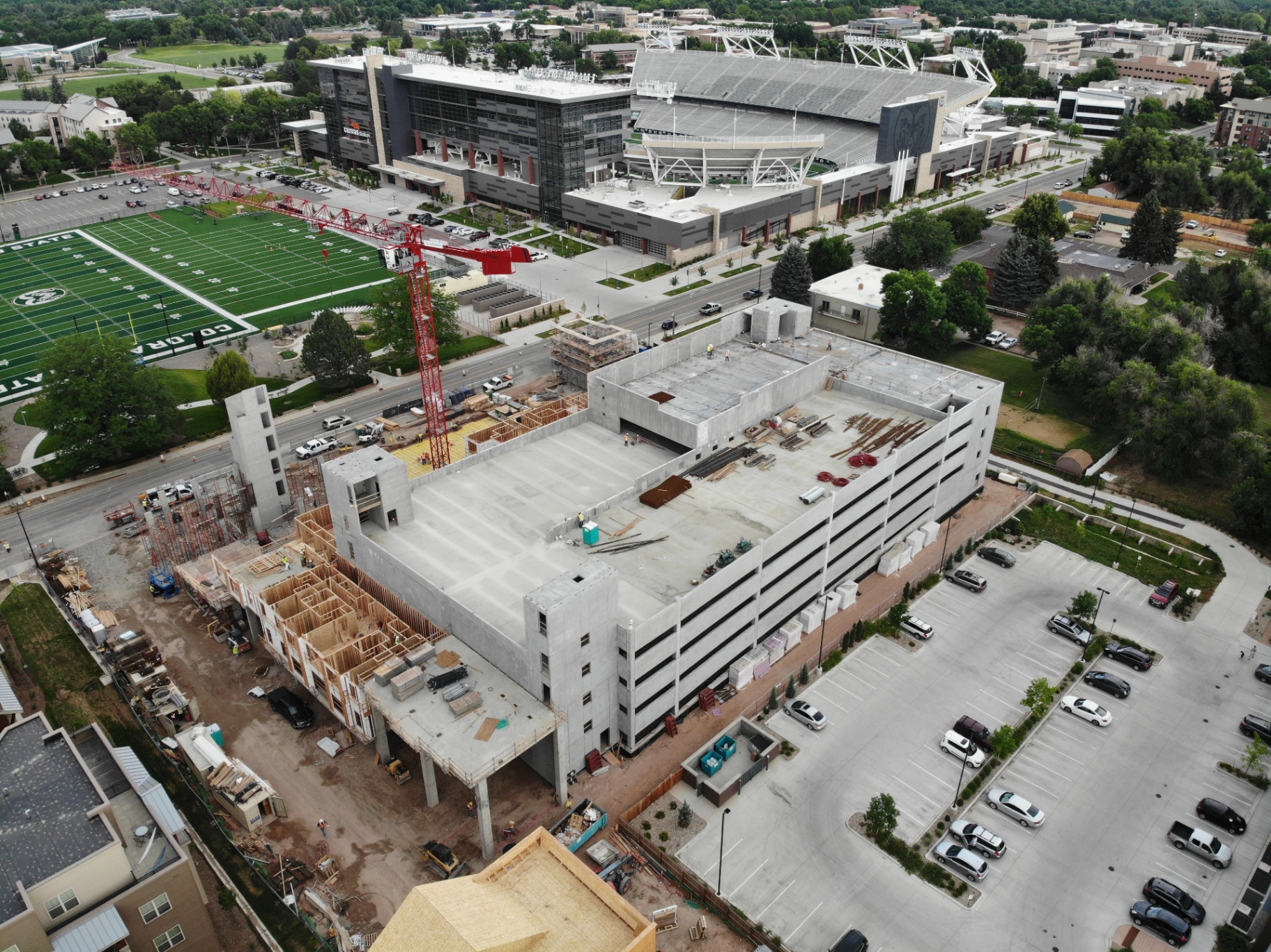
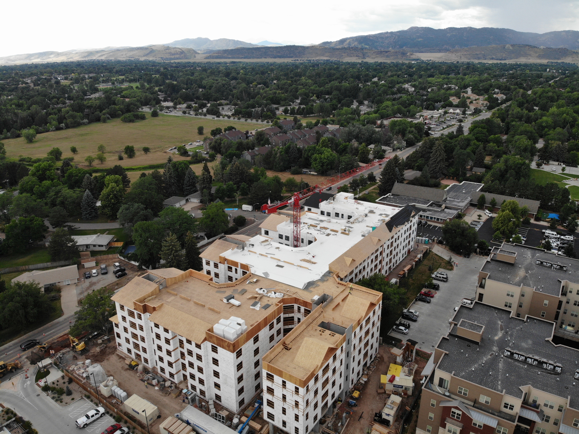
01 — Recent work
Properties we've flown.
02 — Services
Built for land listings.
Aerial Photography
High-res stills that show acreage, boundaries, and surrounding context.
Listing Video Reels
60–90 second cinematic reels ready for MLS, social, and email.
Boundary Overlays
Aerial photos with parcel lines drawn in for clarity and trust.
03 — Why Peak 1
Local, certified, and fast.
We live and fly in Northwest Arkansas. We know the terrain, the seasons, and how a great aerial shot can move a land listing from sitting to sold.
FAA Part 107
Licensed and fully insured for commercial flights.
48-hour edits
Photos and video delivered within two business days.
NWA local
Bentonville, Rogers, Fayetteville, Springdale and beyond.
Pro gear
Professional aerial camera capturing crisp 4K video and high-resolution stills.
Got a listing to fly?
Tell us about the property and we'll get back within a few hours with a quote and the next available date.
Book a shoot